
'Let us not set a precedent': 6,000 Lang'ata households push Parliament to carve 34 acres out of Ngong Road Forest as conservationists cry foul

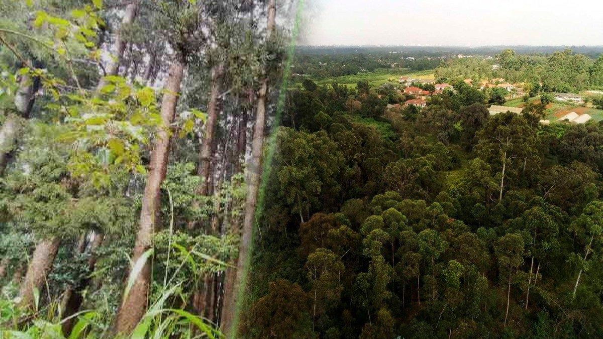
For more than 20 years, families in Lang'ata have lived in homes that, on paper, still stand inside a gazetted forest. Now they want Parliament to redraw the map, and conservationists are fighting back.
More than 6,000 households and several government institutions in Lang'ata have asked Parliament to approve a variation of the Ngong Road Forest boundary. If approved, it would degazette 34 acres of the forest, The Standard reports. The request follows a resolution passed by more than 650 people at a two-day public participation forum held in October at St Michael's Catholic Church in Mugumo-ini ward.
Whose land is it?
The 34 acres include KMA Estate, Lang'ata Gardens, Lang'ata View, Shalom, Forest Edge View and St Mary's Hospital. The proposal also covers areas used by institutions including Bomas of Kenya, Lang'ata Women's Prison, the Police Dog Unit, KBC, Wildlife Clubs of Kenya and ICIPE.
Lang'ata Deputy County Commissioner Walter Katono said the nearby Sunvalley I, II and Royal Park estates were lawfully excised, but the remaining 34 acres were not. A 2020 National Assembly committee report on a residents' petition reached the same conclusion: it found the law on removing land from a forest had not been followed. The committee recommended using Section 34 of the Forest Conservation and Management Act, 2016 to resolve the matter.
Seme MP James Nyikal, whose house sits on KMA Estate, said he and fellow young doctors set up a cooperative in 1981 and "innocently looked for a parcel of land to build our homes".
'We legalise it by another process'
Not everyone at the forum agreed. Ngong Road Forest Association chairman Simon Kage warned that the process could be used to legalise other encroachments. "Let us not set a precedent that when an illegality happens, we legalise it by another process," he said.
The Green Belt Movement, founded by Nobel laureate Wangari Maathai, has gone further. In an October statement, it called the forum a "sham public participation exercise". It urged Parliament to reject the proposal, asked the EACC to investigate how the land was acquired, and asked the Kenya Forest Service to defend the existing boundary.
The group says the forest covered about 7,232 acres when it was gazetted in 1932 but is now down to about 3,020 acres because of excisions and development. It also warned of a separate proposal to excise part of the forest for a road linking Talanta Stadium to Bomas.
What happens next
An Environmental and Social Impact Assessment report will go to the Principal Secretary for Forestry for review before being sent to Parliament. MPs will then decide whether these Lang'ata estates finally get secure titles, or whether a city forest that has already lost more than half its area gets smaller again.
Photos: The Standard (Ngong Road Forest, courtesy); Business Daily (Ngong Forest from Karen Road). Thumbnail design: HAMASTA MEDIA.



Know what people say about you.
Media monitoring, audience insights and strategic communication for your brand.


More in Environment
See all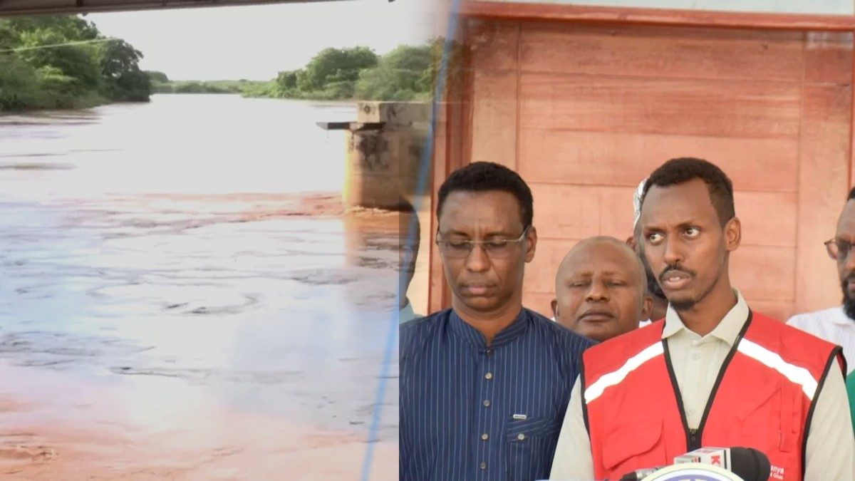
From 2.6 to 4.6 metres in two days: River Tana swells as 700 people in Garissa and Tana River are told to move to higher ground

'About the same as burning 10 litres of petrol': Bamburi wants State tenders to reward low-carbon cement, says Makupa Bridge saved 10 million kg of CO2
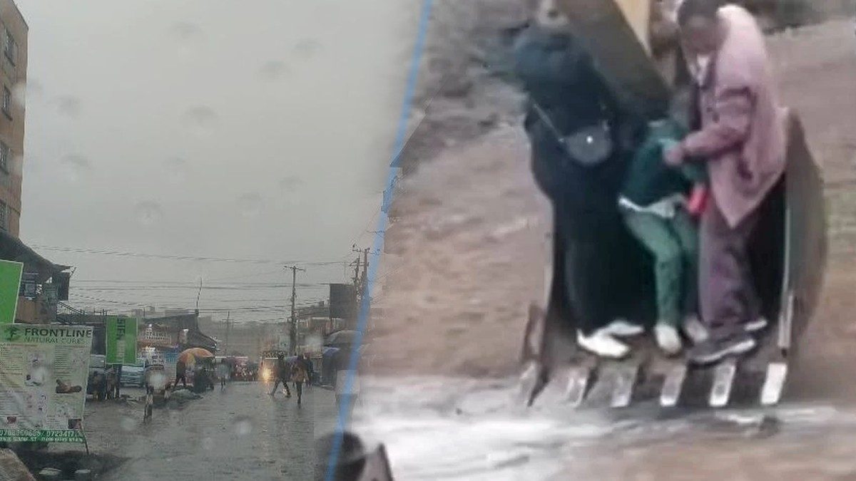
Students ferried across a flooded road in an excavator bucket as Met warns 40-plus counties to brace for above-average rains, floods and cholera
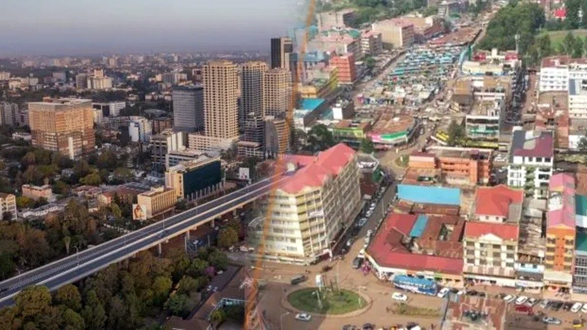
Did you feel it? A magnitude-5 earthquake nearly 1,000km away in Tanzania sends a midday tremor through Nairobi, Kiambu and Kajiado
'Leave them and they rot from the inside': Forest Society chief defends logging in Aberdare, Ngong and Imenti as court order on Aberdare holds

Kenya signs China solar deal to power off-grid schools, clinics and water points in Tana River, Kilifi and Maasai Mara
Global Community Remarks
0